FY 2001 Innovative proposal 200101400
Contents
Section 1. General administrative information
Section 2. Past accomplishments
Section 3. Relationships to other projects
Section 4. Budgets for planning/design phase
Section 5. Budgets for construction/implementation phase
Section 6. Budgets for operations/maintenance phase
Section 7. Budgets for monitoring/evaluation phase
Section 8. Budget summary
Reviews and Recommendations
Additional documents
| Title | Type |
|---|---|
| 22057 Narrative | Narrative |
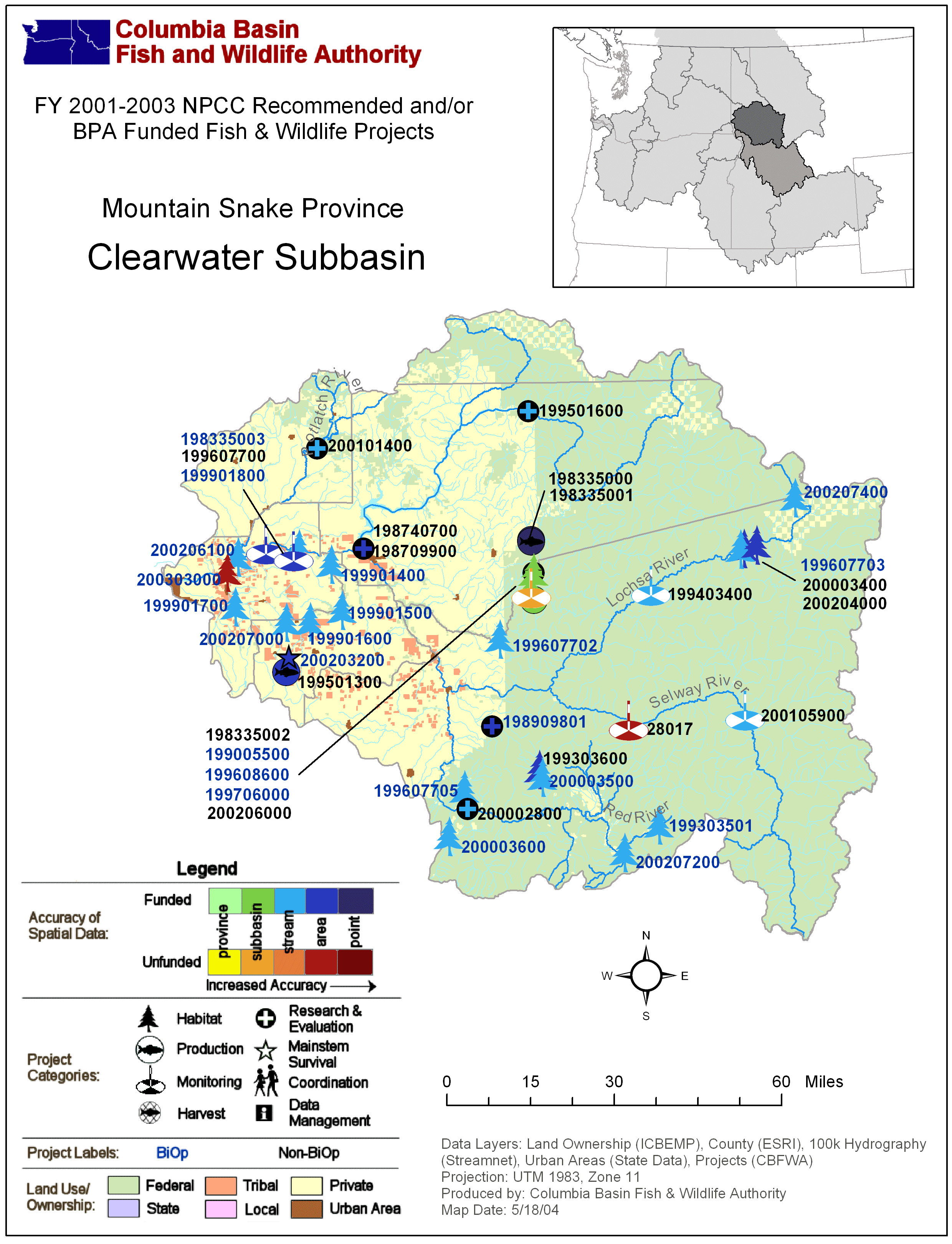
| Mountain Snake: Clearwater Subbasin Map with BPA Fish & Wildlife Projects | Subbasin Map |
| Mountain Snake: Clearwater Subbasin Map with BPA Fish & Wildlife Projects | Subbasin Map |
Section 1. Administrative
| Proposal title | Waterbody and Aquatic Habitat Characterization Utilizing High Resolution Satellite Imagery and Aerial Imagery |
| Proposal ID | 200101400 |
| Organization | Teasdale Environmental Associates |
| Proposal contact person or principal investigator | |
| Name | Gregg N. Teasdale, P.E. |
| Mailing address | P.O. Box 446 Genesee, ID 83832 |
| Phone / email | 2082851637 / teasdale@turbonet.com |
| Manager authorizing this project | Gregg N. Teasdale |
| Review cycle | FY 2001 Innovative |
| Province / Subbasin | Systemwide / Clearwater |
| Short description | Demonstrate the practical use of new commercial high resolution satellite and aerial imagery in the assessment of waterbody physical habitat, geomorphology and water quality impairment potential. Develop a guidance manual for field and office use. |
| Target species | Fall Chinook |
Project location
| Latitude | Longitude | Description |
|---|---|---|
| 46.77 | -116.46 | Potlatch River |
Reasonable and Prudent Alternatives (RPAs)
Sponsor-reported:
| RPA |
|---|
Relevant RPAs based on NMFS/BPA review:
| Reviewing agency | Action # | BiOp Agency | Description |
|---|
Section 2. Past accomplishments
| Year | Accomplishment |
|---|
Section 3. Relationships to other projects
| Project ID | Title | Description |
|---|
Section 4. Budget for Planning and Design phase
Task-based budget
| Objective | Task | Duration in FYs | Estimated 2001 cost | Subcontractor |
|---|
Outyear objectives-based budget
| Objective | Starting FY | Ending FY | Estimated cost |
|---|
Outyear budgets for Planning and Design phase
Section 5. Budget for Construction and Implementation phase
Task-based budget
| Objective | Task | Duration in FYs | Estimated 2001 cost | Subcontractor |
|---|
Outyear objectives-based budget
| Objective | Starting FY | Ending FY | Estimated cost |
|---|
Outyear budgets for Construction and Implementation phase
Section 6. Budget for Operations and Maintenance phase
Task-based budget
| Objective | Task | Duration in FYs | Estimated 2001 cost | Subcontractor |
|---|
Outyear objectives-based budget
| Objective | Starting FY | Ending FY | Estimated cost |
|---|
Outyear budgets for Operations and Maintenance phase
Section 7. Budget for Monitoring and Evaluation phase
Task-based budget
| Objective | Task | Duration in FYs | Estimated 2001 cost | Subcontractor |
|---|
Outyear objectives-based budget
| Objective | Starting FY | Ending FY | Estimated cost |
|---|
Outyear budgets for Monitoring and Evaluation phase
Section 8. Estimated budget summary
Itemized budget
| Item | Note | FY 2001 cost |
|---|---|---|
| Personnel | FTE: 0.5 | $34,500 |
| Fringe | $6,900 | |
| Supplies | Satellite imagery, imagery acquisition costs, software, GPS equipment, handheld PC's, miscellaneous | $18,975 |
| Travel | $2,500 | |
| Indirect | $5,175 | |
| Capital | CIR camera | $15,000 |
| Subcontractor | # of tags: Outside review of guidance manual | $6,000 |
| Other | Satellite and aerial image purchase | $37,320 |
| $126,370 | ||
Total estimated budget
| Total FY 2001 cost | $126,370 |
| Total FY 2001 budget request | $126,370 |
Cost sharing
| Organization | Item or service provided | Amount | Cash or in-kind |
|---|
Reviews and recommendations
This information was not provided on the original proposals, but was generated during the review process.
Comment:
This clearly written proposal would assess the utility of innovative aerial and satellite imagery in characterizing aquatic habitat. It represents a novel application of a new technology that may be very useful in EDT assessments and may represent an important advance in data acquisition in the estuary and ocean. The guidance manual for agency staff and other practitioners sounds useful. The proposal has excellent information transfer built in as well as thorough evaluation of the utility of its products. The cost is relatively low. During discussion of the proposal the ISRP noted that the sponsors could have better discussed possible limitations of the technology and potential benefits to the Clearwater restoration efforts.Comment:
Unsure how applicable the data generated from this technique would be for planning. Text did not address limitations due to deep water or turbidity. This proposed work appears to be similar to ongoing satellite imagery work.Comment:
Unsure how applicable the data generated from this technique would be for planning. Text did not address limitations due to deep water or turbidity. This proposed work appears to be similar to ongoing satellite imagery work.Comment:
Comment:
Comment: